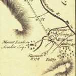
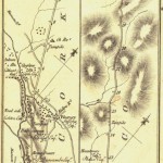
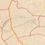
The images above are from the work of George Taylor & Andrew Skinner’s (both Scotsmen) entitled ”Maps of The Roads of Ireland”. Surveyed in 1777 and published for the authors on the 14th November 1778 in London. Millstreet is included in the roads,
- p178 Millstreet – Bandon
- p180 Cork -Millstreet – Castleisland – Tralee
- p182 Mallow to Millstreet
Click the images to see the the maps that include Millstreet. They all give a slightly different representation of Millstreet.
Notes: In 1776, they sought funding from Ireland’s noblemen and gentlemen in order to map the roads of Ireland. They succeeded in raising over £2,000 which paid for [read more …] “Taylor-Skinner: Millstreet Road Maps from 1777”


