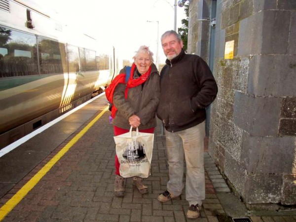
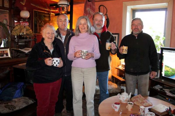
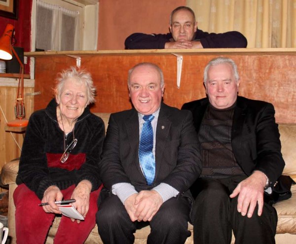
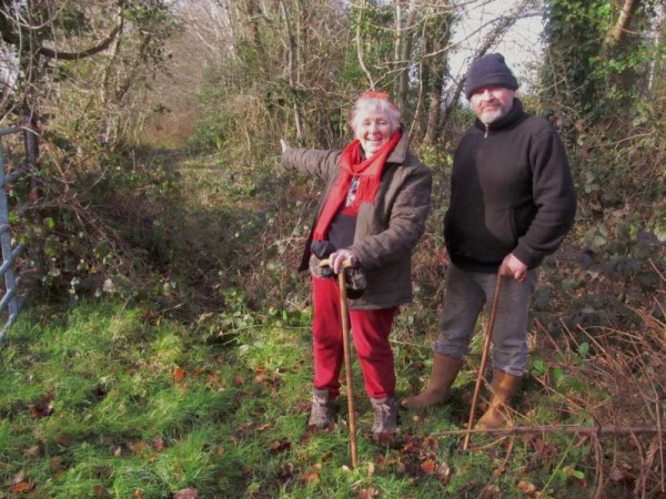
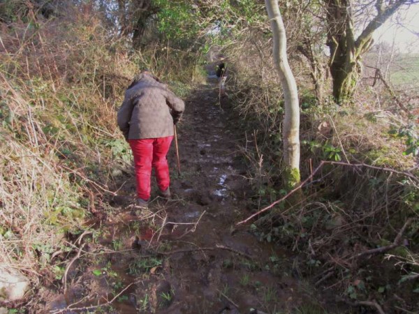
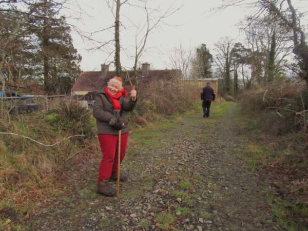
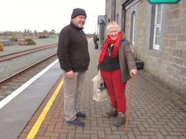
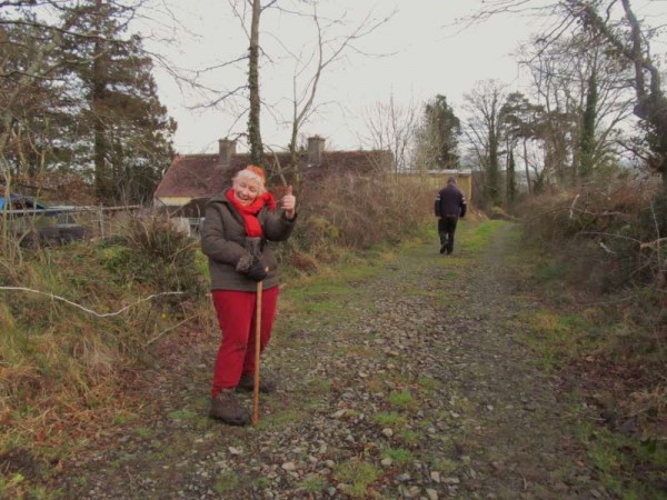
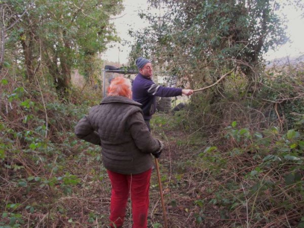
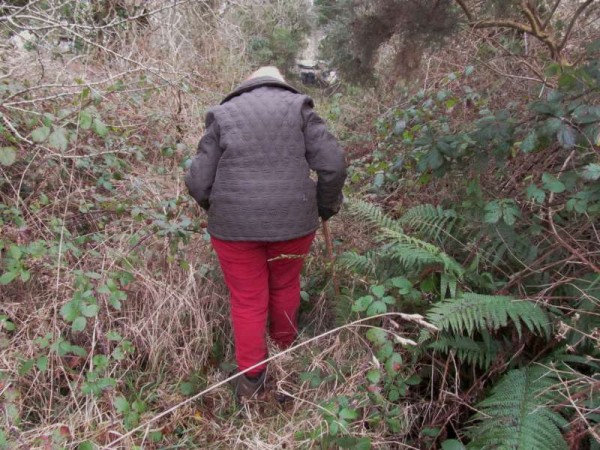
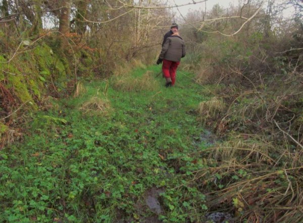
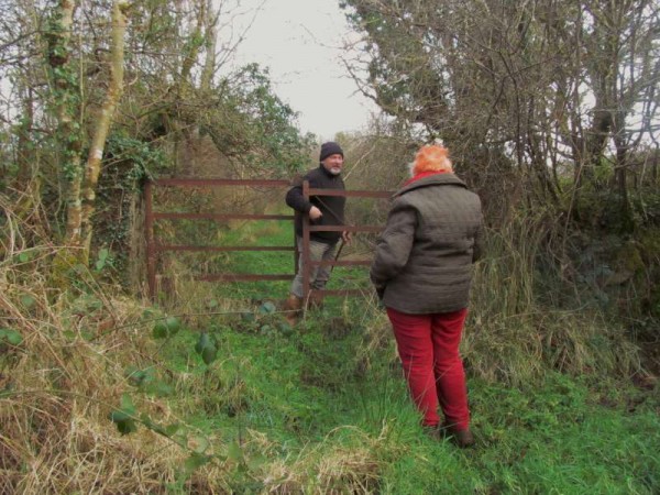
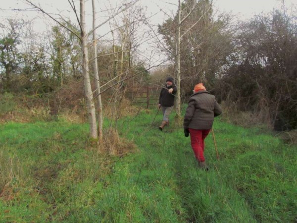
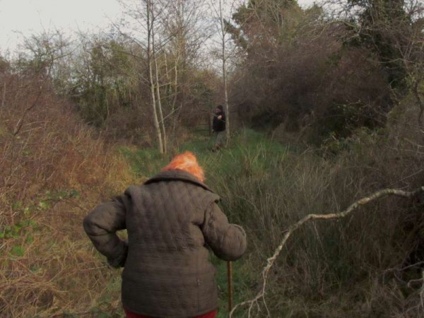
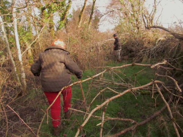
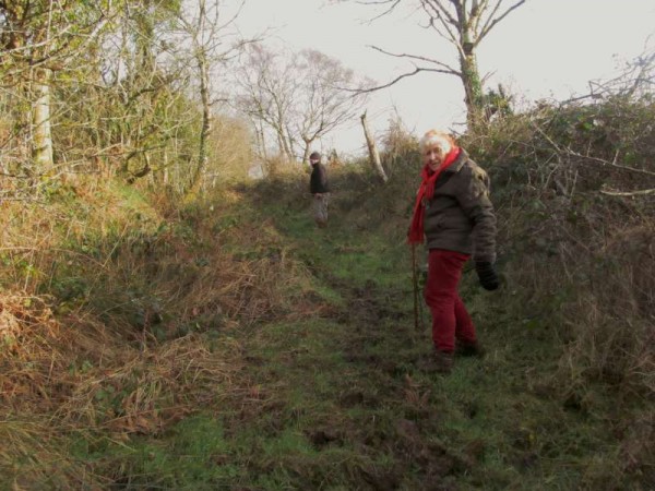
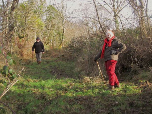
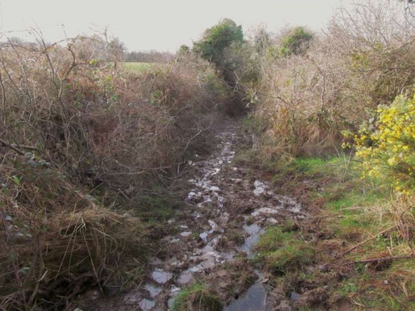
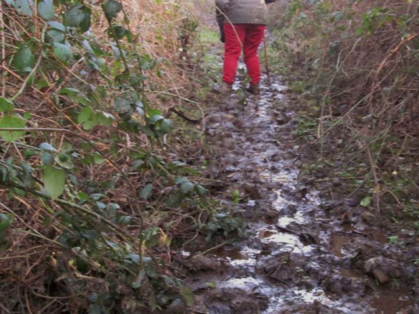
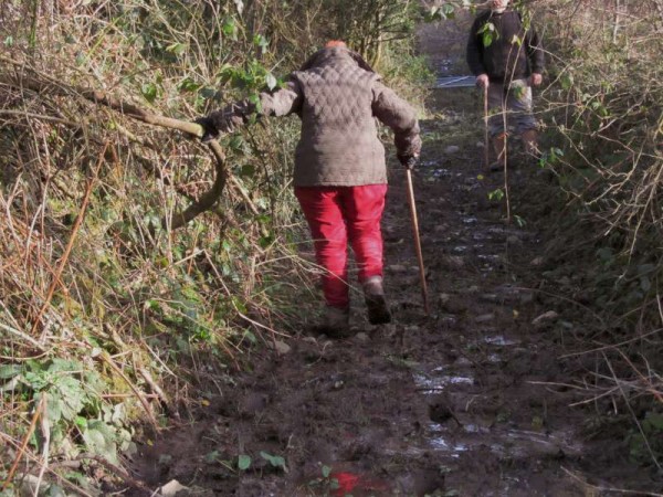
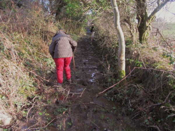
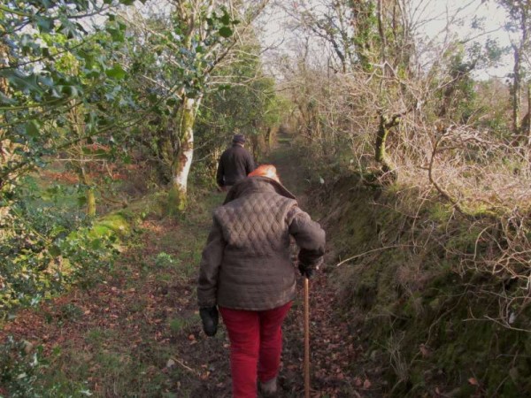
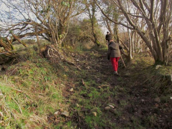
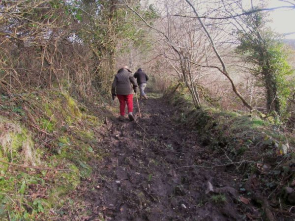
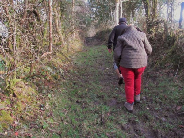
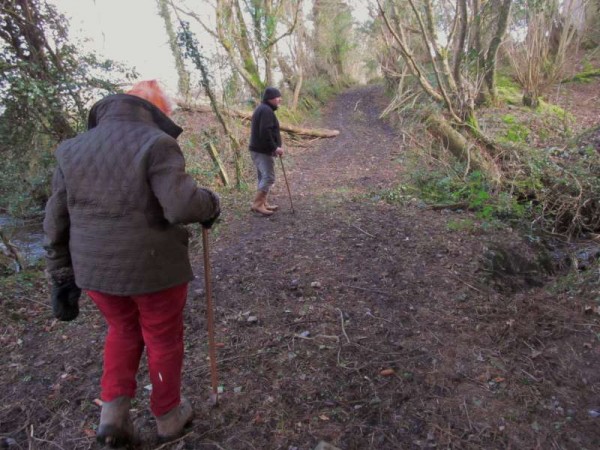
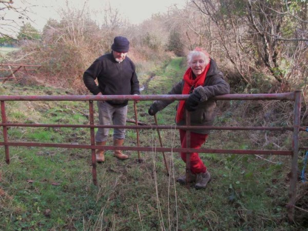
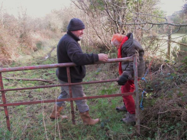
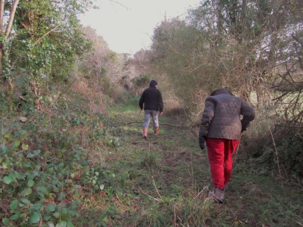
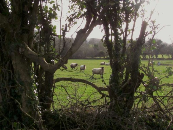
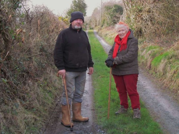
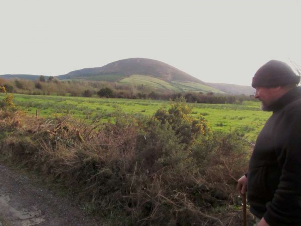
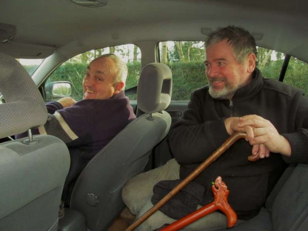
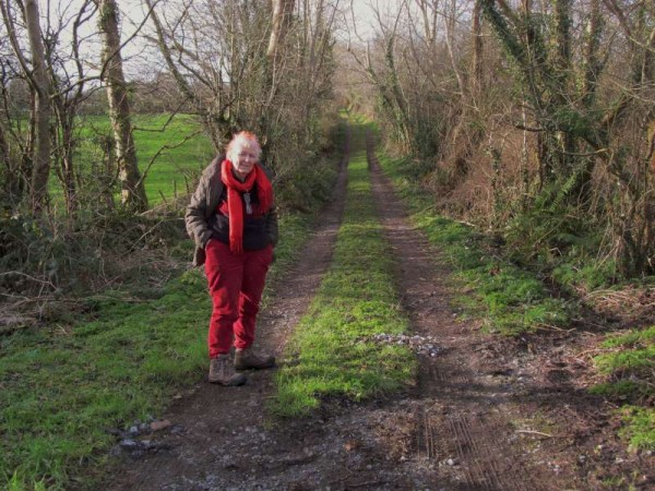
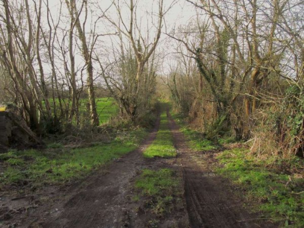
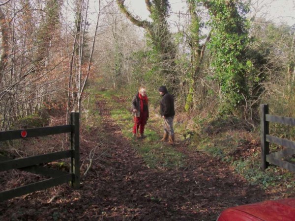
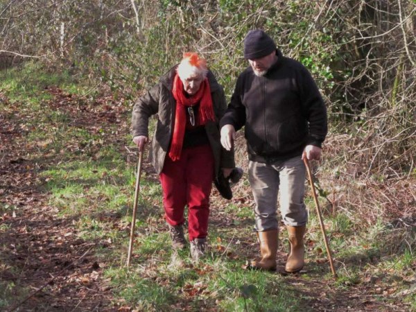
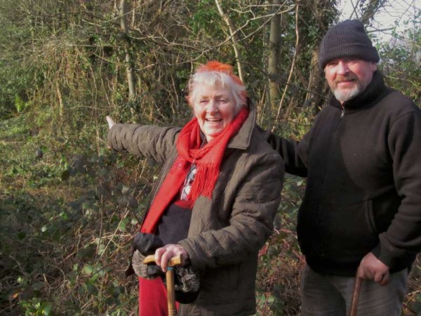
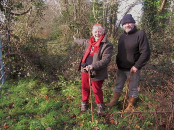
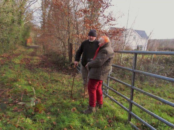
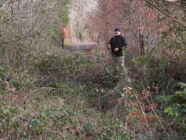
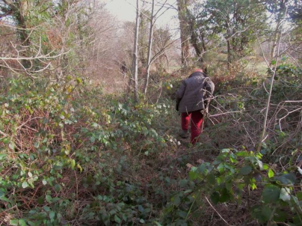
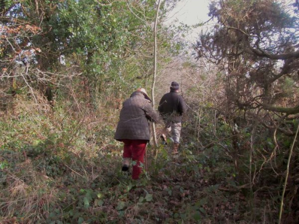
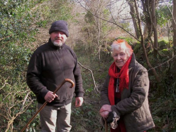
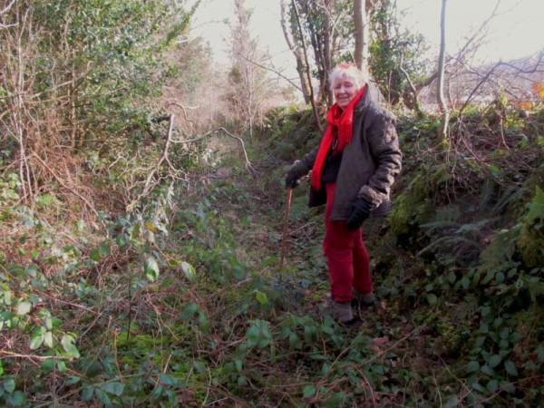
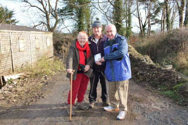
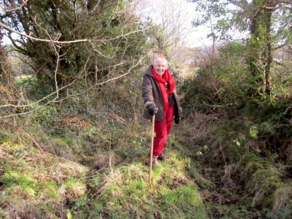
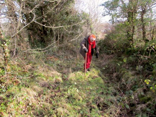
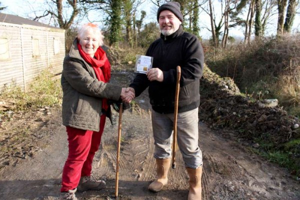
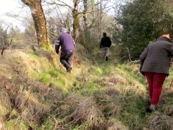
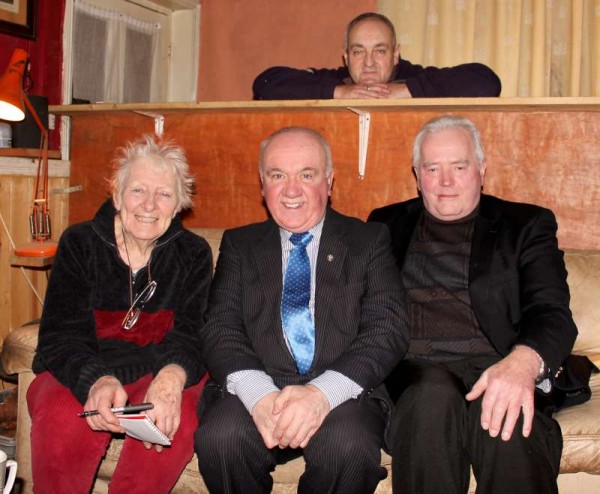
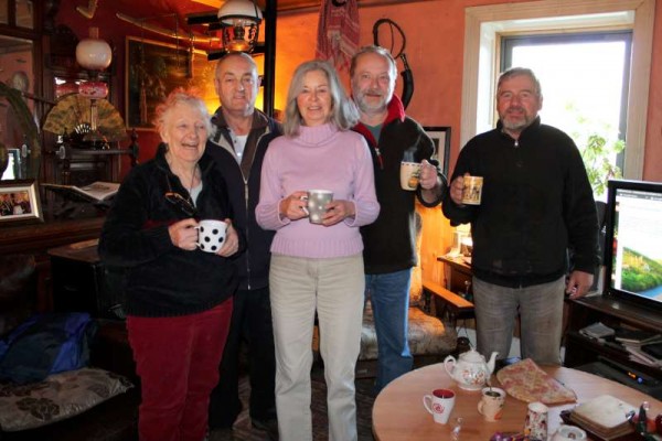
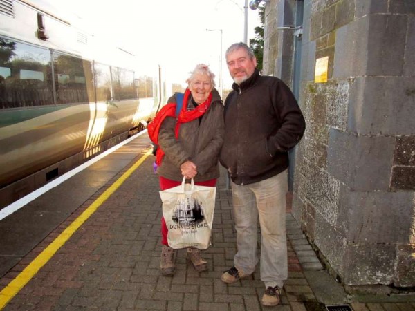
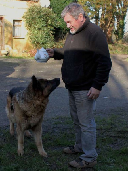
 Mary’s next inspiring visit to the area at a later point will see the wonderfully inspiring lady continuing her journey from Rylane onwards towards the Cork direction. Mary was delighted to receive a copy of “Together” with the Millstreet Community Singers and which features Tom Goggin whom she had met at Mahon’s Rock area on her previous visit to Millstreet. Now we share more images from Sunday when one can truly note how challenging our route was but James O’Sullivan provided us with brilliant walking sticks and wonderful refreshments.




=====
below added by mdc on Feb 3rd:
To Millstreet tomorrow in search of a bit of butter road history. pic.twitter.com/WayTsNrOcK
— mary russell (@maryrussell1) January 31, 2015
@millstreet_town Marvellous time in Millstreet investigating old butter road with group of people who shared their knowledge with me.
— mary russell (@maryrussell1) February 1, 2015
.
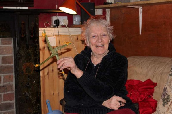
Thanks to Father Sean Tucker, @millstreet, for the gift of a beautiful St Brigid's Cross. The real thing for La Feile Brigid.
— mary russell (@maryrussell1) February 1, 2015
.
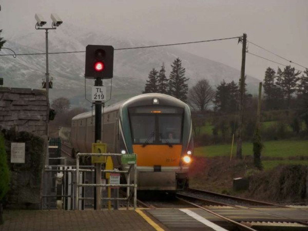
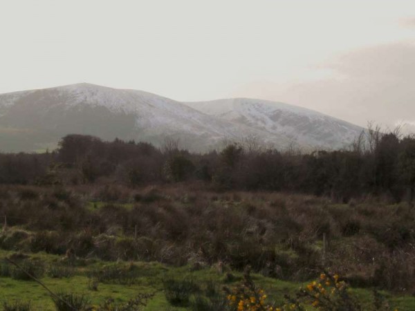
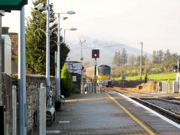
Kerry train pulling in to Millstreet today with snow-covered Mushera in the background. pic.twitter.com/zaxnQvwg7u
— mary russell (@maryrussell1) February 1, 2015
.

In 2010 I stumbled across the Taylor Skinner road maps from 1777 of which several maps showed the roads around Millstreet. I put an article on millstreet.ie showing the maps. At the bottom, I noted that it was funny that Taylor-Skinner had shown the Millstreet to Rathmore road as being dead straight, but put it down to the fact that there were no exact maps of the area at the time.
Rathmore (Shinnagh Cross) … a dead straight road
I thought no more of it until I was looking at old Ordinance Survey Maps (1840s) in Clarathlea in 2014 and was wondering why all the field ditches were in a straight line. Panning out I copped that these ditches in a line were part of a dead straight line between Millstreet and Rathmore, and this was most likely the original Butter Road. (see the map below)
The 1830s Map from Millstreet (bottom right) to Rathmore (out of picture top left) where you can just about make out the very old section of straight road from Tubrid to Ballydaly which even in 1830 was no longer the main road, though it was listed as the main road in the Taylor & Skinner Road Maps of 1777. (click to enlarge)
It is understandable why this part of the road was abandoned. Some of it was desperately wet and narrow as well as being hilly. The new section of the road was built on drier ground and less hilly. Some of early travellers have mentioned in their notes of the terrible state of parts of the road between Millstreet and Rathmore, they may have been referring to this section. It is hard to know when the newer longer route started being used, but there were major road building works in the are in 1820s and 1830s which included building of the road from Clonbanin to Rathmore, upgrading of Macroom to Killarney (over the mountains), and the new road from Clonbanin to Castisland.
These days only parts of the old Butter Road are still used as by-roads, other parts are farm tracks, and some has reverted to its natural state. The recent road map above shows this.
There’s another section of the Butter Road that is rarely now used, and it’s the section just over the border with Kerry, where the new road stays on the flat and passed the chocolate factory.
Michael: great to read your notes on the butter roads and to learn from what you have written. Id be delighted to read anyting else you have to say about Millstreet and the butter roads….
Mary
Even though i was brought up on the road, I wouldn’t be great on its history, because we were never told the stories of old (I never even knew it was called the Butter road until 20 years ago). The best thing to have on its history is the 50 page booklet called: “250 Years of the Butter Road”. It covers the planning, the construction, the visitors, and the effect it had on our area. Published in 1998 by the Aubane Historical Society.
Thanks, Michael. I’ll look out for that. Ive read “Aubane Where in the World is it?” by Jack Lane which was great so expect your suggestion will be marvellous as well.
By the way, if anyone reading this has any memories of the butter roads or related crafts such as making cartwheels, bridles, firkins and/or the work of a blacksmith I’d be more than grateful.